What is happening
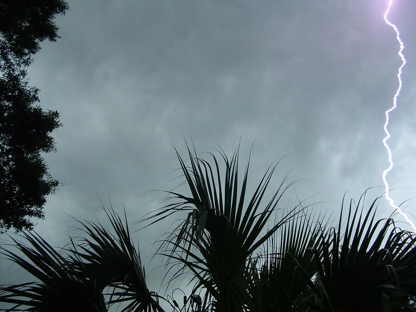
For the following areas... East Santa Barbara Channel from Pt. Conception to Pt. Mugu CA including Santa Cruz Island... Outer waters from Santa Cruz Island to San Clemente Island to 60 NM offshore including San Nicolas and Santa Barbara Islands... Point Piedras Blancas to Point Sal from 10 to 60 NM... Point Piedras Blancas to Point Sal westward out to 10 NM... Waters from Pt. Sal to Santa Cruz Island CA and westward 60 nm including San Miguel and Santa Rosa Islands... At 452 PM PDT, a severe thunderstorm capable of producing waterspouts was located 16 nm west of Point Arguello, or 24 nm west of Point Conception, moving north at 50 knots. HAZARD...Waterspouts, wind gusts in excess of 50 knots, and small hail. SOURCE...Radar indicated. IMPACT...Waterspouts can easily overturn boats and create locally hazardous seas. Boats could suffer significant structural damage in high winds. Small craft could capsize in suddenly higher waves. Locations impacted include... West Point Santa Cruz Island, Point Arguello, Point Sal, Morro Bay, Santa Rosa Island, San Miguel Island, Point Conception, Cambria, and Goleta Point.
Official instructions
Move to safe harbor immediately as gusty winds and high waves are expected. Thunderstorms can produce sudden waterspouts. Waterspouts can easily overturn boats and create locally hazardous seas. Seek safe harbor immediately.