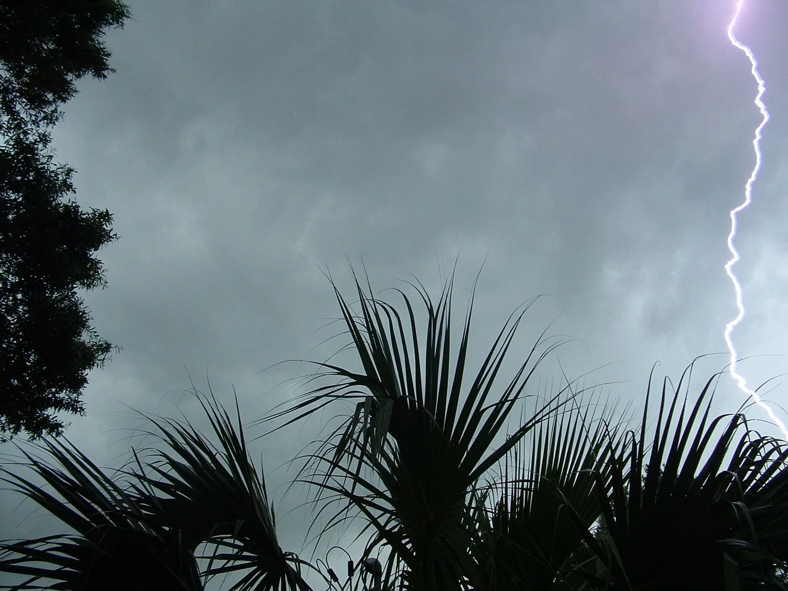
What is happening
* WHAT...Flash flooding caused by excessive rainfall continues to be possible. * WHERE...A portion of south central Arizona, including the following areas, Globe/Miami, Mazatzal Mountains, Pinal/Superstition Mountains, Rio Verde/Salt River, San Carlos, Superior and Tonto Basin. * WHEN...Through Thursday evening. * IMPACTS...Excessive runoff may result in flooding of rivers, creeks, streams, and other low-lying and flood-prone locations. Low-water crossings may be flooded. * ADDITIONAL DETAILS... - A strong weather disturbance will support widespread thunderstorms through Thursday evening. Heavy rainfall with localized rainfall rates upwards of 1 to 2 inches per hour will be possible. - http://www.weather.gov/safety/flood
Official instructions
You should monitor later forecasts and be prepared to take action should Flash Flood Warnings be issued.