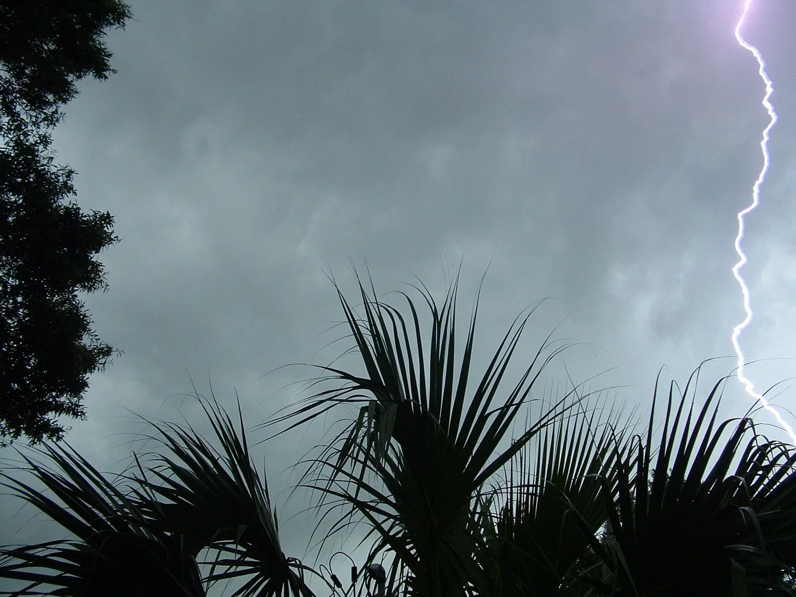
Special Marine Warning issued October 21 at 8:40PM PDT until October 21 at 10:45PM PDT by NWS Los Angeles/Oxnard CA
Severe
What is happening
SMWLOX
The National Weather Service in OXNARD has issued a
* Special Marine Warning for...
East Santa Barbara Channel from Pt. Conception to Pt. Mugu CA
including Santa Cruz Island...
Inner waters from Point Mugu to San Mateo Pt. CA including Santa
Catalina and Anacapa Islands...
Outer waters from Santa Cruz Island to San Clemente Island to 60 NM
offshore including San Nicolas and Santa Barbara Islands...
Waters from Pt. Sal to Santa Cruz Island CA and westward 60 nm
including San Miguel and Santa Rosa Islands...
* Until 1045 PM PDT.
* At 839 PM PDT, severe thunderstorms capable of producing
waterspouts were located along a line extending from 12 nm
northeast of Point Conception to near Santa Rosa Island to 8 nm
south of San Nicolas Island, moving northeast at 15 knots.
HAZARD...Waterspouts and wind gusts to nearly 50 knots.
SOURCE...Radar.
IMPACT...Waterspouts can easily overturn boats and create locally
hazardous seas. Small craft could be damaged in briefly
higher winds and suddenly higher waves.
* Locations impacted include...
West Point Santa Cruz Island...
Santa Rosa Island...
Anacapa Island...
Point Conception...
Ventura Harbor...
San Nicolas Island...
and San Miguel Island.
Official instructions
No additional instructions were supplied with this message. Follow the issuing authority and local emergency services.
Original message from NWS Los Angeles/Oxnard CA. Wording is preserved from the source.
We use cookies so Google AdSense can show and measure ads. Optional analytics stays off unless you allow it. Your exact location and search text are not sent. Privacy policy
Special Marine Warning – East Santa Barbara Channel from Pt. Conception to Pt. Mugu CA including Santa Cr | Weather Alert Map